Treat every trail as a specific route with its own terrain and access conditions. The suggested visit lengths include time to enjoy the place; add transport, parking and weather margins separately.
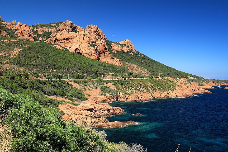
Photo: Céréales Killer · CC BY-SA 4.0. Resized, compressed; display crop.
Scenic coast · Road or rail
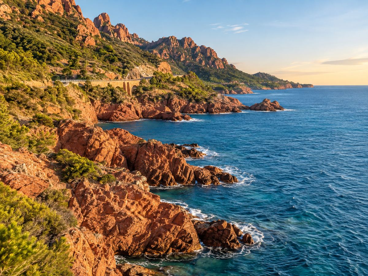
The Corniche d’Or
Follow the coastal landscape between the Saint-Raphaël side and Théoule, with a small number of lawful stops. Red rock and the sea make the route itself the attraction.
Allow a half day with stops and a meal, rather than using a non-stop driving time. Park only in designated spaces, and do not stop on bends or cross the road for an unsafe photograph.
Official visitor information ↗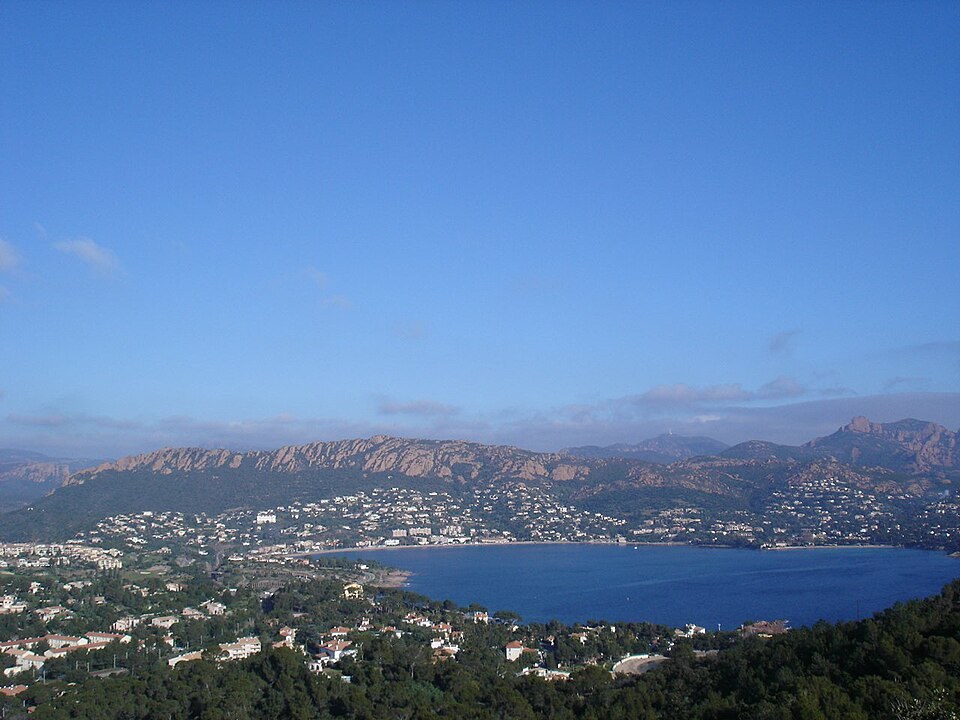
Photo: No machine-readable author provided. Idarvol assumed (based on copyright claims). · CC BY-SA 3.0. Resized, compressed; display crop.
Bay · Beach and town services
Agay bay
Choose Agay for a slower coastal interval: a bay walk, lunch or time on the main sandy beach. It is a useful place to pause between more demanding outdoor visits.
Allow 1–2 hours for a stroll and break, or a half day at the beach. Toilets and showers are listed nearby, with supervision in season. Check current flags and facilities.
Official visitor information ↗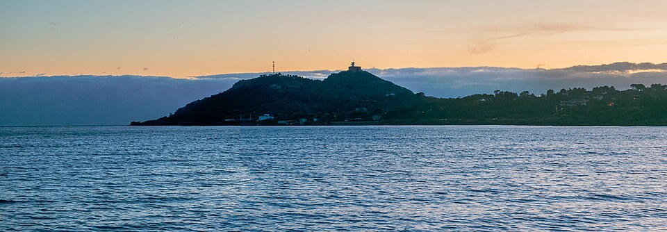
Photo: Tournasol7 · CC BY 4.0. Resized, compressed; display crop.
Coastal hike
Cap Dramont & the Poussaï setting
The marked route brings together red-rock scenery, headland views and the small port setting. The landscape is close to town services but the walking is still uneven.
Official route: 3.8 km, about 2 hours, 151 m ascent, starting at Camp Long. Allow extra for pauses. Wear suitable shoes and check access; it is not a step-free promenade.
Official visitor information ↗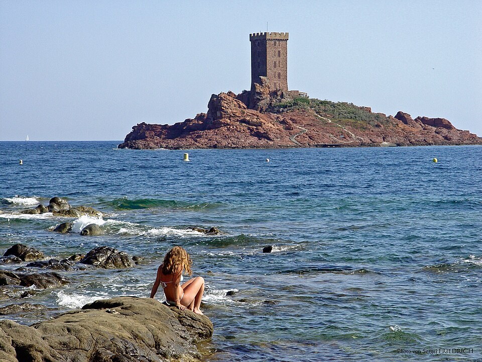
Photo: Yesuitus2001 · CC BY-SA 2.5. Resized, compressed; display crop.
Viewpoint · Private island offshore
Île d’Or from the mainland
Make the distinctive offshore island part of a mainland coastal-view stop. Enjoy the relationship between the island, the sea and the Dramont landscape without assuming a landing is possible.
Allow 30–45 minutes for a short viewing stop from a lawful public area. The island is private; no visit or access to its tower is included in this guide.
Official visitor information ↗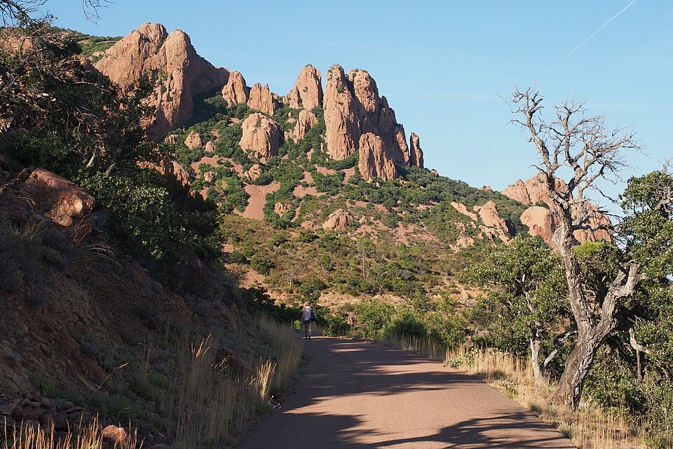
Photo: s_wh · CC BY-SA 2.0. Resized, compressed; display crop.
Hill hike · Moderate published grade
Le petit tour du Cap Roux
Choose this route for a real hill walk and a summit panorama. It is a separate outing from a leisurely drive, with climbing and rocky terrain that deserve respect.
Official route: 4.3 km, about 2 hours, 380 m ascent from Sainte-Baume parking. Plan 3–4 hours with pauses and approach time. Check fire restrictions and road access before departure.
Official visitor information ↗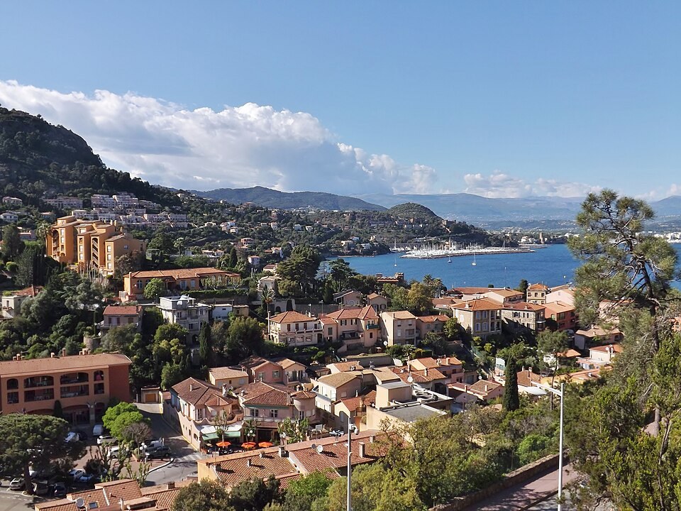
Photo: Florian Pépellin · CC BY-SA 3.0. Resized, compressed; display crop.
Coastal town · Gentler alternative
Théoule-sur-Mer waterfront
A waterfront pause and a reserved meal provide a less strenuous introduction to the eastern end of the coast. Choose an accessible segment rather than assuming all nearby beaches connect by a level path.
Allow 1½–3 hours locally, depending on lunch and beach time. The station, town waterfront and Figueirette are different arrival points; establish the final walk or transfer.
Official visitor information ↗